This post is an English translation of an article that was originally written in Spanish by Andrea Penman-Lomeli. The original article can be found here.
Their plan allowed for the urbanization of an area that had been unoccupied for ten years, providing services and recovering the city’s investment.
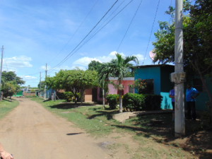
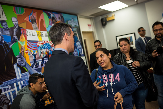
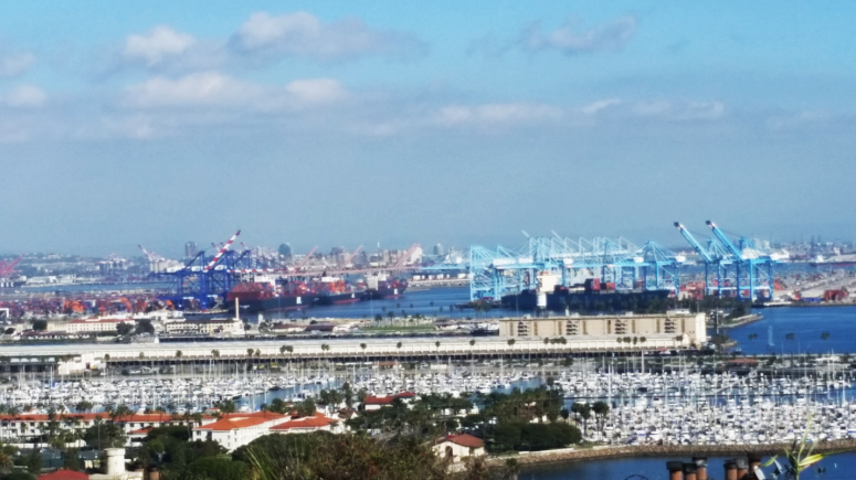
Housing Cooperative in León, Nicaragua
Currently, Faniz Jirón is the owner of her home, where she can plant fruit trees near her house. She lives in what today is the housing cooperative Juntando Manos, but ten years ago she had no other option but to rent. “I sought alternatives to save for a house but I could not find them,” says Jirón. She and a lot of people who are low-income in León—the second most populous city in Nicaragua—found a solution thanks to the Urban Expansion Project of Southeast León.
Before, this was a rural area that had no housing or services. However, through this project, in five years the city managed to produce 3,000 lots for low-income people. At the same time, in ten years, the city managed to recover the investment that it had made.
The initiative started with a $1,408,000-dollar seed capital fund, a result of a collaboration between the city of León and the city of Utrecht, Netherlands. It is estimated that in fifteen years, 6,416 lots that house 32,000 people have been developed. It went from being a vacant and deserted piece of land to an environment where there is pavement, electricity, storm drainage, drinking water, public transportation, and other services. This earned it the recognition of “best practices” in urban planning issues from the United Nations Habitat (UN-Habitat). But how is it that such a large space was developed in a progressive and equitable manner?

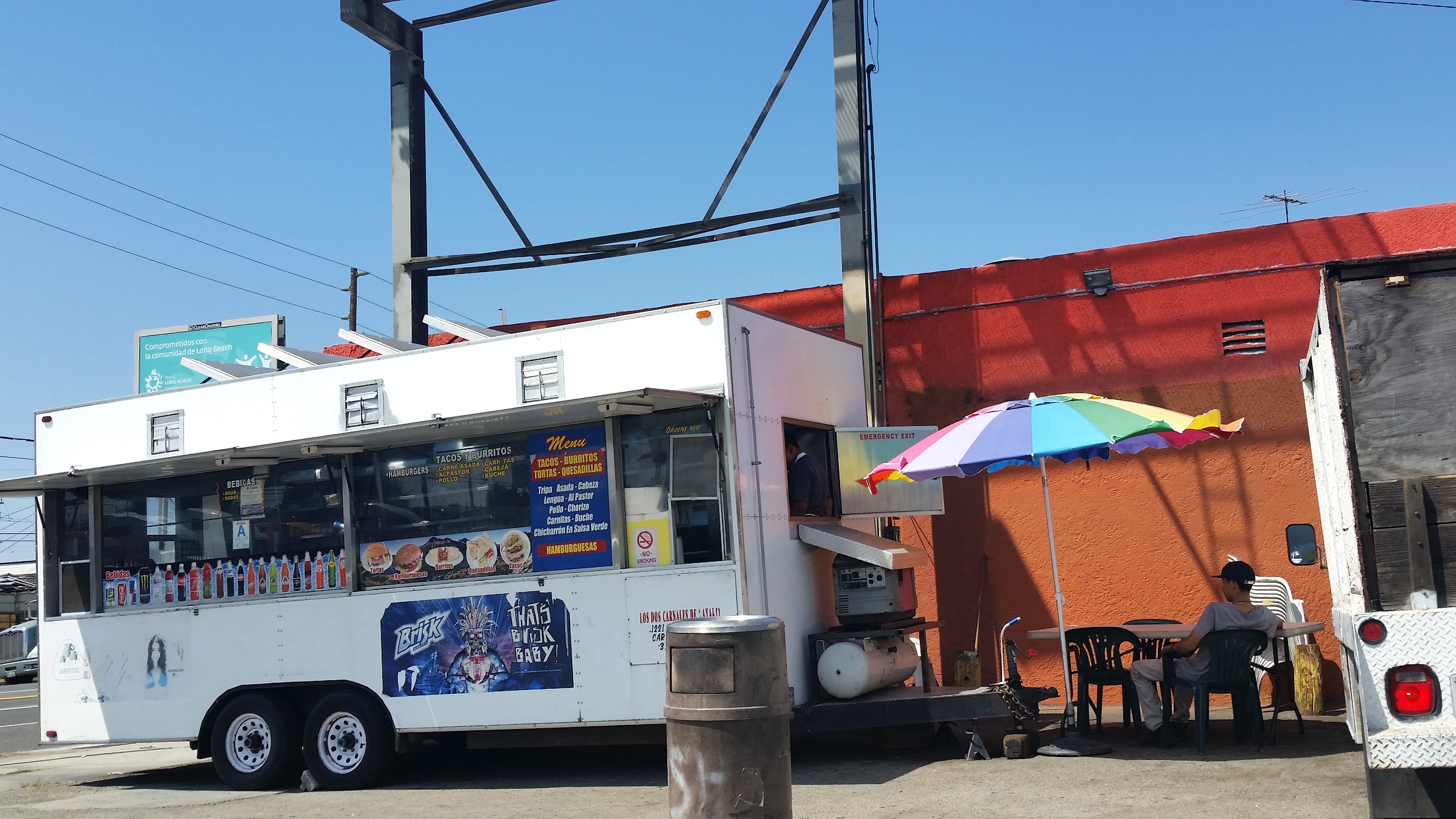
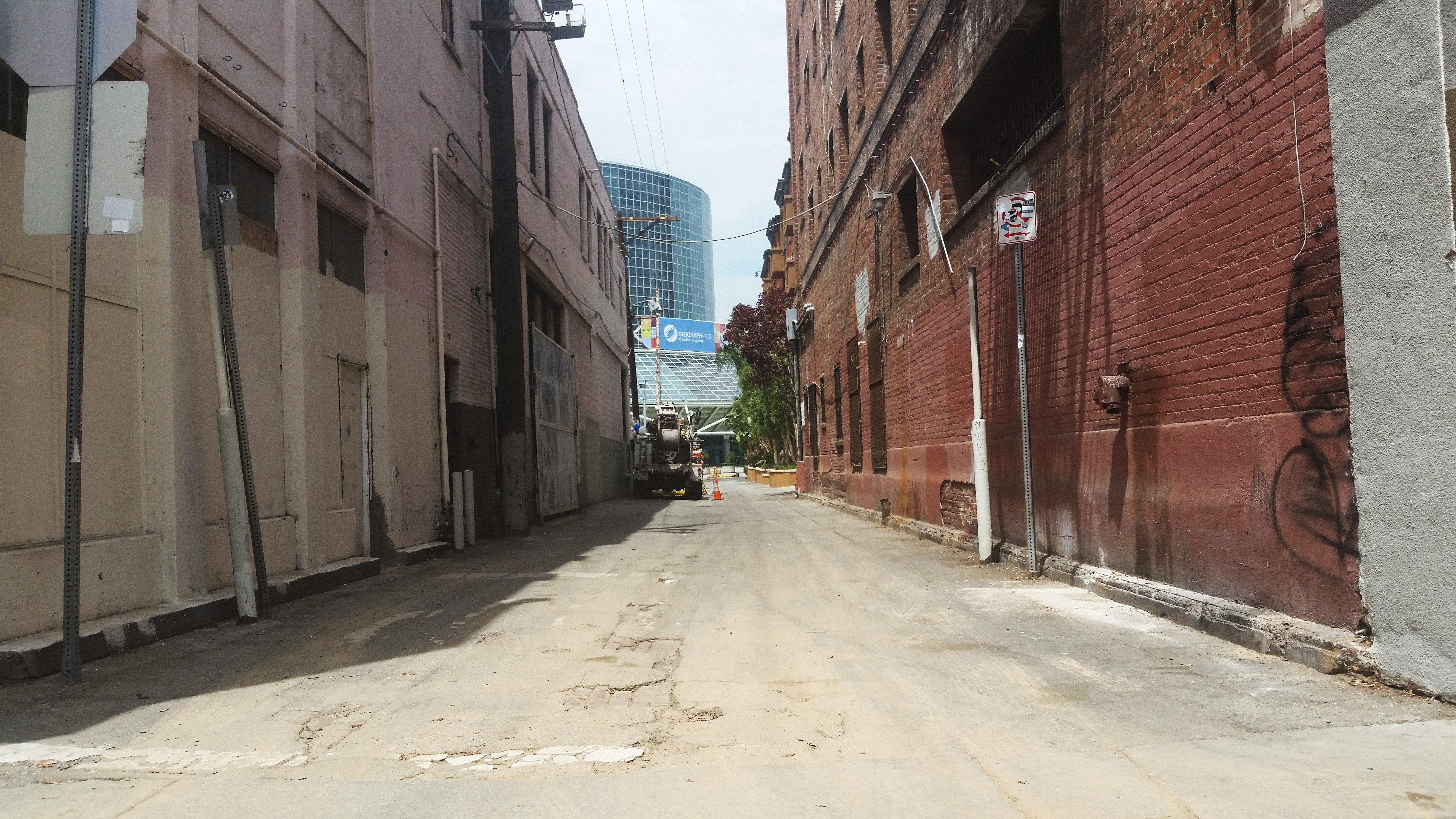
Housing Cooperative in León, Nicaragua
When the city council approved the Plan in 1996, there was a strong need for land in the region. According to UN-Habitat, the annual growth rate was at 4.3%, this because of the migration of people from rural areas to the city of León. In 1998, 32.7% of the urban population was identified as living in poverty. All of this was happening after a period of civil war and economic restructuring, were there was not much public investment. After the 1990 elections, the cities were to be responsible for their own urban development. “All of the cities were saying ‘Who is going to help us?… Nobody,’” explains Marc Pérez-Casas, researcher at the Universidad Politécnica de Cataluña in Barcelona, Spain and consultant at the Inter-American Development Bank. “They had a good amount of land without infrastructure, without electricity, water, etc. They wanted a way to develop this space and provide an opportunity to purchase it.”
During the first phase (1999 – 2008) of this plan, the cities of Utrecht and León created the Office of Urban Expansion of Southeast León/Oficina de la Expansión Urbana de León Sureste (EULSE). The EULSE would sell the land and give credit to low-income families with family wages between $120 and $440 dollars (the average wage in Nicaragua is of $330 dollars a month) and who could prove that they did not own other property. The lots, which were vacant, cost between $1,100 and $4,500 dollars and the families would buy them with a financing option of a 10% interest rate from the EULSE—which continues to be a very favorable rate in Nicaragua. According to a study done by Pérez-Casas [and Francesc Magrinyà Torner], microfinance institutions offer financing to low-income families at interest rates that range between 26% and 36%.
“There was financing accessible to low-income families so that they could purchase this type of dwelling…this is what is new,” says Pérez-Casas. The family could not occupy the land until they had paid half of the loan, which in general took a year and half to do so. “I pay a lot less a month than when I was renting,” says Jirón. Before, her rent was $70 dollars a month. Today she pays $30 dollars a month, which will result in the ownership of her home.

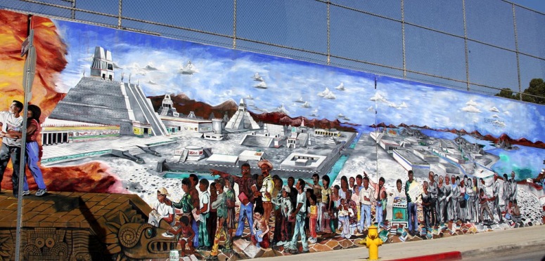
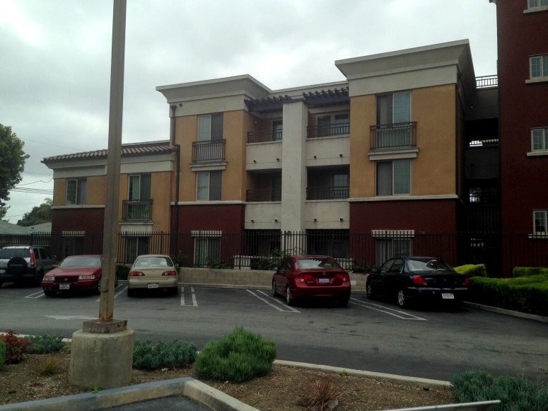
Housing Cooperative in León, Nicaragua
In the analysis of the first phase (1999 – 2008), it was found that the cities had recovered their seed capital investment and that the land had been progressively urbanized. “In the year 1999 or 2000, all of the infrastructure had not been built, rather it was done little by little. In fact, it took them five or six years to have water and electricity,” says Pérez-Casas.
The plan depended in a revolving fund, meaning that it is a fund that invests the profits in the same plan to purchase more lots and infrastructure. “The most important thing of all of this is that since that urbanization was coming from the public sector, they had reserved spaces for public facilities,” says Pérez-Casas. In those areas, the government built schools, health centers, community centers, and parks.
The urban expansion of southeast León has been a learning process through action. Innovations that continue to influence the community emerged from the plan. For example, the cooperatives. In these [cooperatives], the families gathered to ask for budgets and buy land in groups, which ended up creating a community.” It was a very nice experience because not only is it a housing cooperative but we also ended up being partners and developing a community. There is a more humane coexistence,” says Jirón. Organizations such as We Effect supported these cooperatives and created models that were replicated in many neighborhoods. She was a part of one of the first cooperatives and worked five years for the mayor, to support others that were trying to do the same.

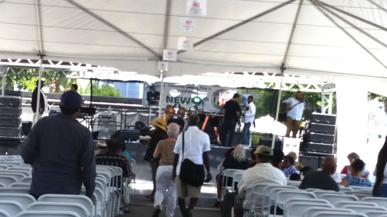
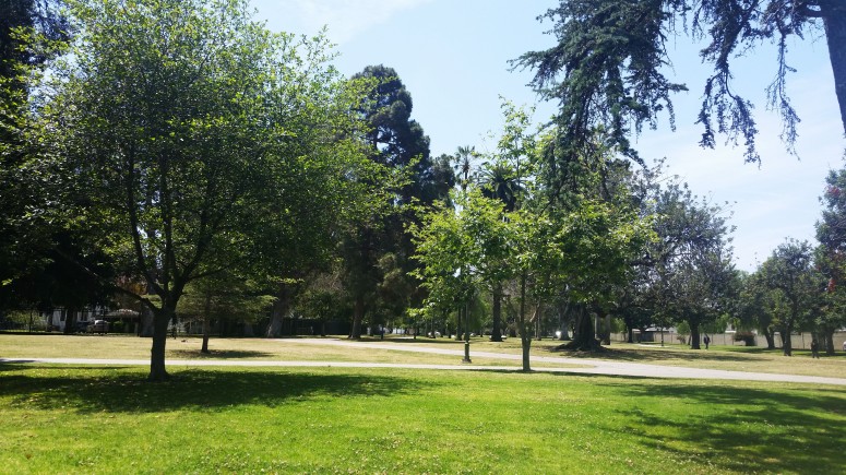
Building Group of Housing Cooperative in León, Nicaragua
Another unexpected development was the interest in the Urban Expansion Project from the private sector, who would buy the lots from the city at a higher price and then resell them to middle class families. “[The city] took that capital gain, that extra income that they had, and were able to invest it to finance part of the structure,” explains Pérez-Casas. Here two interesting processes occurred. “You have the private sector build where one wants, in other words you are facilitating an area of expansion,” says the expert. “[On the other hand], they sell to families with moderate incomes; therefore, you mix different social classes.” This is positive since you minimize the segregation and diversify the communities. In the second phase, of the 3,200 lots that were sold, 1,500 of these were for the private sector and the other 1,700 [lots] were for the public sector.
In the future, Pérez-Casas says that the control of prices will be a challenge, since during the time that the urbanization has taken place, the prices of the land have increased. This makes it difficult for cities to buy more lots.
While other cities depend on private financing for their urban development—Nicaragua has no urban planning laws and recently in 2000 it passed a housing law—León has found an equitable way to do it. According to the study of Pérez-Casas [and Francesc Magrinyà Torner], this formula can also be replicated in other cities. “For me, one of the most important things is that the city projected where the population was going to grow, but it also developed a land policy,” says Jirón. And this policy has impacted her daily life. “Now we have more security, more control over our lives.”
Credits: Data and images linked to sources.
H/T CityLab Latino